
Sight back to the original record.
Original land-records research for Texas surveyors, landmen, and title professionals. Start from a deed, an address, or an abstract. Backsight resolves the original survey, pulls the GLO archive sketch maps and land-grant patents, runs the county deed records and walks the chain of title back toward the patent, and cross-checks it all against the county CAD parcel, assembled into one organized, citable package.
How it works
Anchor
Resolve any starting point (deed, situs address, abstract number, or a point on the ground) to the original survey: block, section, abstract, original grantee.
Retrace
Pull the record for that survey and its owners: the General Land Office archive sketch files and land-grant patents (with file numbers to disambiguate scrip), and the county deed records, walking the chain of title backward toward the original grant.
Package
Everything lands in a structured folder (manifest, contact sheet, GeoJSON parcel, source citations), ready for the job file or the courthouse.
Research the record
Original surveys
Survey to abstract to patentee resolution across every Texas county, from the OTLS layer.
Sketch maps
GLO sketch files, rolled sketches, and working sketches, found spatially and by name, fetched at full resolution.
Land grants
Patent files from the Land Grant Database, matched to the deed by file number, flagged when only orderable on paper.
Deed records & chain of title
County deed records for the owners on the parcel, with the chain of title walked backward deed by deed toward the original grant, and adjoining parcels searched the same way.
Parcel cross-check
Statewide CAD parcels anchor small platted lots and surface owner or legal-description mismatches against the deed.
Live parcel map
Pick a survey boundary and its adjoiners straight off a live map, then run the record on exactly what you selected.
Cited answers
Ask a Texas land-records or surveying question and get a straight answer, cited back to the source it rests on.
Draft from it, and keep what you learn
Deed plotter
Read the calls off a deed or plat scan into a plotted figure, checkable call by call against the source, with misclosure and area computed for you, then export to DXF, a shapefile-ready coordinate CSV, or a print-ready sheet.
Title bank
Every deed you plot becomes a searchable card. Find any of them again by name, legal description, survey, abstract, or instrument number.
Corrections that stick
Fix a misread call once and the same deed language comes back right the next time. The plotter gets sharper on the deeds it has already read.
Survey-file organizer
Hand over a folder of DXF drawings and get them back as one georeferenced map, each drawing placed by its coordinate zone, footprint, and extent.
Worked example: the Alamo
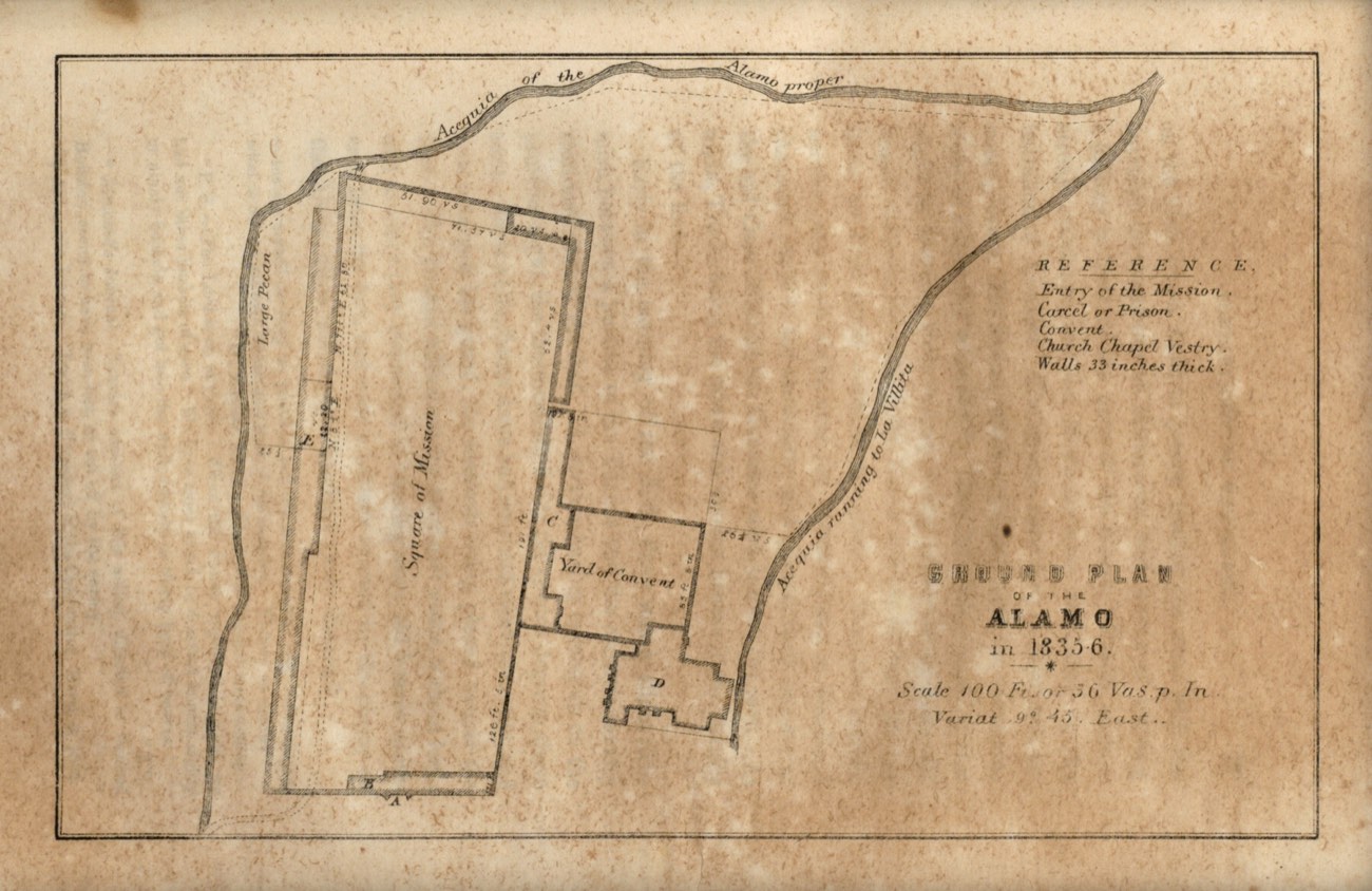
A real run, address-first with no deed in hand: 300 Alamo Plaza, San Antonio, Bexar County.
Anchor
300 Alamo Plaza resolves to the San Antonio Town Tract, Abstract 20 (the Spanish-era municipal tract) via OTLS identify.
Cross-check
The statewide TxGIO CAD layer returns parcel NCB 115 “ALL OF BLK”, owner STATE OF TEXAS, captured as a GeoJSON artifact in the package.
Retrace
Archive sweeps surface seven classified maps, including the 1764 Menchaca presidio map and an 1862 F. Giraud sketch of the Old City Tract boundary.
Grants
The Land Grant Database holds no land-grant patent for the tract (its lone Abstract-20 record is a modern, non-patent transaction). Correct, not a miss: the Alamo’s Spanish-era chain of title lives in the GLO Spanish Collection, outside the patent system.
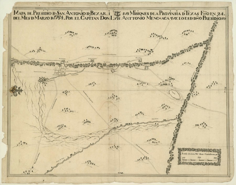
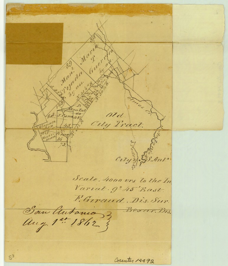
Every map above is cited to its Texas GLO archive object page.
Early access
Backsight is in active development. Leave an email and be first in line.